About Ganga River System
- The three major river basins that comprise the Himalayan Drainage System are as follows:
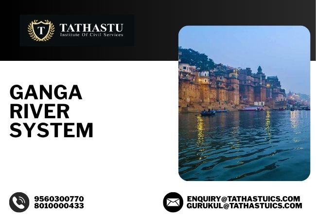
- Ganga River System
- Indus River System
- Brahmaputra River System
- With a total span of over 2500 km, the Ganga River and its numerous tributaries flow through the northern and eastern parts of the Indian subcontinent.
- The Ganga River is the symbol of religious faith, cultural heritage, and economic activity.
- The Ganga is vital to millions of people who rely on it for sustenance, livelihood, and spiritual needs, stretching across the northern part of India.
Origin & Course of Ganga River
- The Ganga originates from the Gangotri Glacier in the Himalayas, located in the northern state of Uttarakhand.
- This glacial origin point is known as Bhagirathi, and from here, the river is known as the Bhagirathi till it meets the Alaknanda at Devprayag, where it is officially called the Ganga.
- From the confluence at Devprayag, the Ganga takes a southward course, flowing through the plains of:
- Uttarakhand,
- Uttar Pradesh,
- Bihar, and
- West Bengal
- The Ganga River finally empties into the Bay of Bengal through a vast delta, known as the Sunderbans in West Bengal.
Tributaries of Ganga River System
The left and right bank tributaries of the Ganga River are as follows:
- Yamuna River ,
- Damodar River,
- Ramganga River,
- Ghagra River,
- Kali River,
- Gandak River,
- Burhi Gandak River,
- Kosi River etc.
Yamuna River
- The largest and most important tributary of the Ganga is the Yamuna River.
- The Yamuna River originates from the Yamnotri glacier on the Bandarpunch Peak in the Mussoorie Range in the Lower Himalayas, located in the Uttarkashi District of the Garhwal region in Uttarakhand.
Damodar River
- The Damodar River rises in the hills of the Chotanagpur plateau and flows through a rift valley.
- The Barakar is the most important tributary of the Damodar.
- The valley is called “the Ruhr of India” because of several dams that have been constructed for the generation of hydroelectric power.
- This river is called ‘Sorrow of Bengal’ because it causes devastating floods, as a result of which it earned the name.
Ramganga River
- The Ramganga River originates on the southern slopes of Dudhatoli Hill in the Chamoli district of Uttarakhand.
- It flows through the Doon Valley of Jim Corbett National Park and is dammed at Kalagarh.
- The important tributaries of Ramganga are as follows:
- Khoh,
- Gangan,
- Aril,
- Kosi, and
- Deoha (Gorra), etc.
Ghaghra River
- The Ghaghra River rises from Gurla Mandhata Peak, south of Manasarovar in Tibet (a river of Trans-Himalayan origin).
- It is known as the Karnaili in Western Nepal.
- It is a major left-bank tributary of the Ganga.
- The important tributaries of the Ghaghra River are as follows:
- Sarda,
- Sarju (Ayodhya is located on the bank of this river), and
- Rapti.
- The Ghaghara joins the Ganga River at Chhapra in Bihar.
Kali River
-
- The Kali River, also known as the Sharda River or Mahakali River, is a transboundary river that forms the western border between India and Nepal.
- The Kali River rises in the high glaciers of the Trans-Himalayan Region.
- It originates in the Himalayas at Kalapani in Uttarakhand, India.
- It is known as the Sarda after it reaches the plains near Tanakpur.
Gandak River
- The Gandak River originates near the Tibet-Nepal border.
- The important tributaries of the Gandak River are as follows:
- Kali Gandak,
- Mayangadi,
- Bari and
- Trishuli.
- It flows into the Ganga at Hajipur in Bihar.
Burhi Gandak River
- Burhi Gandak River originates from the western slopes of the Sumesar hills near the India-Nepal border.
- It joins the Ganga near Monghyr town.
Kosi River
- The Kosi river consists of seven streams, namely Sut Kosi, Tamba Kosi, Talkha, Doodh Kosi, Botia Kosi, Arun and Tamber.
- The Kosi River is also known as Saptakoshi for its 7 Himalayan tributaries.
- It is an antecedent transboundary river that flows through both Nepal and India.
- This river joins the Ganga at Kursela in the Kathiar district.
- The Kosi River’s catchment includes the highest peak in the world, Mount Everest, and Kanchenjunga.
- Its unstable nature during the monsoon season has earned it the nickname “Sorrow of Bihar”.
Son River
- The Son River originates near Amarkantak in Madhya Pradesh, just east of the Narmada River and flows through Madhya Pradesh.
- The Son parallels the Kaimur hills, flowing through Uttar Pradesh, Jharkhand, and Bihar states to join the Ganga just above Patna.
Panch Prayag of Ganga River System
| Place of Confluence | River System |
| Devprayag | Bhagirathi and Alaknanda |
| Rudraprayag | Mandakini and Alaknanda |
| Nandaprayag | Nandakini and Alaknanda |
| Karnaprayag | Pindar and Alaknanda |
| Vishnuprayag | Dhauliganga and Alaknanda |
Ganga-Brahmaputra Delta
- The Ganga, along with the Brahmaputra, forms the largest delta of the world between the Bhagirathi, Hugli and the Padma or Meghna before entering the Bay of Bengal.
- The coastline of the Ganga-Brahmaputra Delta is characterised by a highly indented and complex terrain.
- The Ganga-Brahmaputra Delta is made of a web of distributaries and islands and is covered by dense forests called mangroves.
- A major part of the delta is a low-lying swamp that is flooded by marine water during high tide.
Conclusion
The Ganga River System faces challenges in terms of pollution and climate change. Ongoing efforts like the Namami Gange Programme aim to rejuvenate and restore the river to its former glory, ensuring its sustainability for generations to come. The Ganga is, and will continue to be, the lifeblood of India.