Western Ghats Conservation: Why Community is the Missing Key
Recent Context
Ecologist Madhav Gadgil has called for a community-centric approach towards Western Ghats conservation. He sharply criticized the forest department’s bureaucratic failures and the neglect of the Forest Rights Act (FRA) on the ground. (PYQ 2016) . It was recently published in The Indian Express and hence it is important for you to understand the basics.
What Are the Western Ghats and Why Do They Matter?
- UNESCO World Heritage Site: Recognised for their global ecological significance; one of the world’s eight ‘hottest’ biodiversity hotspots.
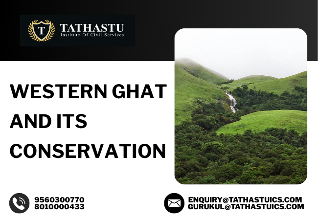
- Geographical Span: Stretches over 1,600 km along the western edge of India, from Gujarat in the north to Tamil Nadu in the south, passing through Maharashtra, Goa, Karnataka, and Kerala.(6 states – PYQ 2017)
- Biodiversity Superpower:
- Species Richness: Home to more than 7,400 species, with at least 1,800 endemic plants and hundreds of unique animal species.
- Critical Endemism: Species like the Lion-tailed Macaque, Nilgiri Tahr, and Malabar Civet are found nowhere else.
- Hydrological Backbone: Origin of major peninsular rivers—Godavari, Krishna, Kaveri, Tungabhadra, and others—which support water security and agriculture for 245 million people.
- Monsoon Regulator: Traps moisture-laden southwest monsoon winds, resulting in some of India’s highest rainfall zones; crucial for local microclimates and national climate moderation.
- Cultural Sanctuary: Sacred groves, temple forests, and unique agricultural practices make it an integral part of local heritage.
How Did the Western Ghats Form?
- Ancient Roots: Precambrian Shield: Formed over 600 million years ago, as part of the Indian Peninsular Shield—not through folding (orogeny) like the Himalayas, but via volcanic uplift and tectonic rifting.
- Deccan Traps: Volcanic Legacy: The massive basaltic lava flows of the Deccan Traps created the plateau’s step-like topography (the word “trap” means stair-step in Swedish).
- Faulting and Escarpment: When India broke away from Gondwana (~100 million years ago), the western edge fractured and subsided, creating the Ghats’ dramatic escarpments.
- Shaped by Erosion: Over millions of years, monsoon-fed rivers carved valleys, formed lateritic plateaus, and left behind rugged peaks like Anai Mudi (2,695 m, Kerala—the highest peak in peninsular India).
Why Are the Western Ghats Under Threat?
- Flawed Forest Governance
- Outdated Data: Forest departments often use decades-old, inflated stock assessments, masking ground realities and allowing resource over-extraction.
- Example: Gadgil’s classic 1975 study in Uttara Kannada revealed that bamboo stock figures were exaggerated tenfold to justify setting up a paper mill, leading to rapid degradation.
- Polluting Industries & Official Complicity
- Industrial units, often with state backing, operate in ecologically sensitive areas.
- Case in Point: Grasim’s rayon factory in Kerala released mercury-laden effluents into the Chaliyar river, wiping out fish stocks and devastating tribal livelihoods.
- Neglect of Forest Rights Act (FRA), 2006
- Despite legal provisions, tribal and forest-dependent communities are denied Community Forest Rights (CFR), leading to their marginalisation.
- Fact: In Kerala and Karnataka, a majority of CFR claims remain unresolved, breeding alienation.
- Monoculture Plantations and Pesticides
- Large tracts diverted for fast-growing exotics like eucalyptus and acacia, eroding native biodiversity and harming soil health.
- Recent Example: In Wayanad (Kerala), pesticide-heavy plantations have led to a collapse of native pollinators and declining soil microbes.
- Fire Mismanagement
- Forest fires, often lit to facilitate minor forest produce collection (like tendu leaves), spiral out of control, damaging forest structure and habitats.
- Update: In 2024, fires in Gadchiroli (Maharashtra) and Karnataka escalated due to unsustainable harvesting methods.
- Opaque, Aggregated Forest Data
- Forest Survey of India’s district-level data hides ground realities; delayed reporting helps mask degradation hotspots.
- Data Example: In the 1970s, satellite imagery by NRSC revealed just 15% forest cover in some areas, while local forest departments claimed 23%.
- Fragmented Approach to Conservation
- Conflicting mandates, poor inter-agency coordination, and a lack of community voice undermine holistic action.
Committees and Their Contrasting Approaches
- Western Ghats Ecology Expert Panel (WGEEP), 2011 – Madhav Gadgil Committee
- Proposed Ecologically Sensitive Area (ESA) zoning, strict curbs on polluting industries, and direct community (Gram Sabha) participation.
- Called for full implementation of the FRA, 2006 and recognition of traditional knowledge.
- Kasturirangan Committee, 2013
- Recommended a development-friendly approach—reduced ESA coverage, diluted people’s participation, and allowed for continued economic exploitation in many fragile zones.
- This approach led to continued friction between local communities, activists, and governments.
The Way Forward: From Bureaucratic Exclusion to Community Stewardship
1. Recognise and Implement Community Forest Rights (CFR)
- Empower local Gram Sabhas with actual forest management, income rights, and monitoring responsibilities.
- Successful Example: Pachgaon (Maharashtra) village has used CFRs to sustainably harvest bamboo, prevent fires, and revive sacred groves—setting a national model.
2. Democratic Decentralisation
- Local communities, not distant officials, are the true custodians of forests.
- Kerala’s Vana Samrakshana Samiti (VSS): Local bodies protect forests, share revenue, and use traditional knowledge to guide management.
3. Modernise Ecological Data Systems
- Replace outdated stock-taking with real-time, open-access satellite tools (Google Earth, Bhuvan, Global Forest Watch) to track changes and counter false reporting.
- Current Status: 30m resolution data is now freely available to civil society and Gram Sabhas.
4. Ban Unsustainable Industry in Fragile Zones
- Enforce Supreme Court orders on mining bans in wildlife corridors, prevent polluting industries in ESAs.
- Example: SC-mandated mining bans in Goa and Kerala hill tracts have halted further habitat loss, but enforcement must be strict and transparent.
5. Promote Biodiversity-Compatible Livelihoods
- Encourage Non-Timber Forest Produce (NTFP) based enterprises, eco-tourism, and agro-forestry to align economic incentives with conservation.
- Real World: Wayanad tribal co-operatives market organic turmeric and wild honey internationally, earning income while conserving forests.
6. Strengthen Legal and Policy Frameworks
- Ensure full implementation of the FRA, 2006; make ESA zoning binding; ensure people’s participation in all environmental decision-making bodies.
- Update: Recent PILs in the Supreme Court seek judicial monitoring of ESA notifications and CFR claim settlement.
Conclusion
The Western Ghats are much more than a “green barrier” or a list of hotspots—they are India’s ecological life insurance. Conservation cannot succeed unless we place people at the centre of policy, empower communities, and ensure transparent, real-time data-backed governance. Gadgil’s warning is timely: only a democratic, inclusive, and scientifically robust approach can secure the Western Ghats for future generations.